“Four Score and Seven Years Ago…”
Gettysburg Maps Available from Ball
State University Libraries
The National Park Service is commemorating the 150th
anniversary of the Gettysburg Address with special events at the Gettysburg National
Military Park on November 16-23.
President Lincoln delivered the famous address—which defined the meaning
of the war—on November 19, 1863 at the dedication of a cemetery.
The Ball State University Libraries’ GIS Research and Map Collection
(GRMC) on the second floor of Bracken Library includes various maps of Gettysburg, Pennsylvania. A National Geographic map, 1863: Turning Point of the Civil War,
shows the movements of two infantry regiments between Chancellorsville and
Gettysburg.
Gettysburg, Pennsylvania:
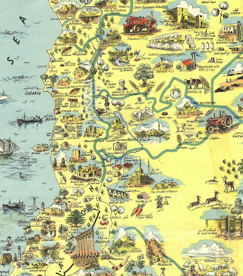
Illustrated Gettysburg Battlefield Map and Story (top above, click to
enlarge) was published in 1959 and includes Civil War troops’ movements and
positions. The map also includes several
points of interest.
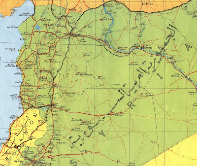
The map, Gettysburg Battlefield,
(bottom map above) was published by McElfresh Map Company in 1994. This set of maps includes depictions of the
first, second and third days’ battlefield and are printed reproductions of
watercolor originals. The maps include
land use, vegetation cover, field crops, field lines, and farmers’ names as in
1863.
The map, Gettysburg Invasion and
Retreat, was published as a part of the Maryland Civil War trails series
and is a regional tourist map showing Civil War-related points of interest and
recommended highway tours in five Maryland counties and adjacent parts of
Pennsylvania.
The Maps of Gettysburg: An Atlas
of the Gettysburg Campaign, June 3-July 13, 1863 was published in 2007 and is available from the Atlas Collection. The atlas includes 144 full-page color
enhanced maps that cover the advance, battle, and retreat.
Maps from the GRMC circulate for two weeks or longer. Atlases circulate for 28 days.
For more information about these maps or other cartographic resources,
please contact Melissa Gentry in the GRMC at 765-285-1097.


.jpg)


