

Making History with GIS Story
Maps
ESRI, the leading supplier
of Geographic Information Systems (GIS) software, has published “Seven Maps that Will Change the Way You Look at History” featuring Story Maps. Story maps “use geography as a means of
organizing and presenting information.
They tell the story of a place, event, issue, trend, or pattern in a
geographic context."
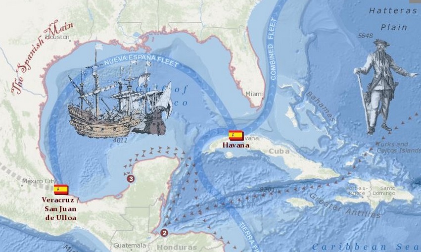
These seven maps include
depictions of the voyage of the Titanic, battlefields
of the civil war, decisive moments in the Battle of Gettysburg, the
assassination of Abraham Lincoln, the 1906 San Francisco earthquake and fire,
the voyage of Charles Darwin, and pirates of the Caribbean. The Story Maps coordinate historic
photographs, Sanborn Fire Insurance and other historic maps, biographies, historical
research, and even audio and video to create a unique map tour.
Check out the ESRI Story
Map Gallery to view other maps related to history, architecture and design,
business, the environment, culture, disasters, and science and technology.
ESRI is also sponsoring a
contest, ESRI Storytelling with
Maps. The deadline for entries is
June 8.
The Ball State University
Libraries’ GIS Research and Map Collection (GRMC) on the second floor of
Bracken Library offers access to ESRI GIS software and online GIS tutorials,
datasets, online mapping applications, in-house GIS data, and one-on-one
assistance from the GIS Specialist.
For more information,
please contact the GRMC at 765-285-1097 from 7:30 am to 4:30 pm Monday through
Friday.
No comments:
Post a Comment