
Maps in the News
The Geospatial Center & Map Collection updates a special display of maps that are related to newsworthy world events. These "current events" maps are displayed in the windows of the GCMC. Maps produced by the CIA are commonly used in these displays because these maps are small in size and frequently updated by the government agency. Staff of the GCMC try to follow world events closely to keep this display timely and informative.
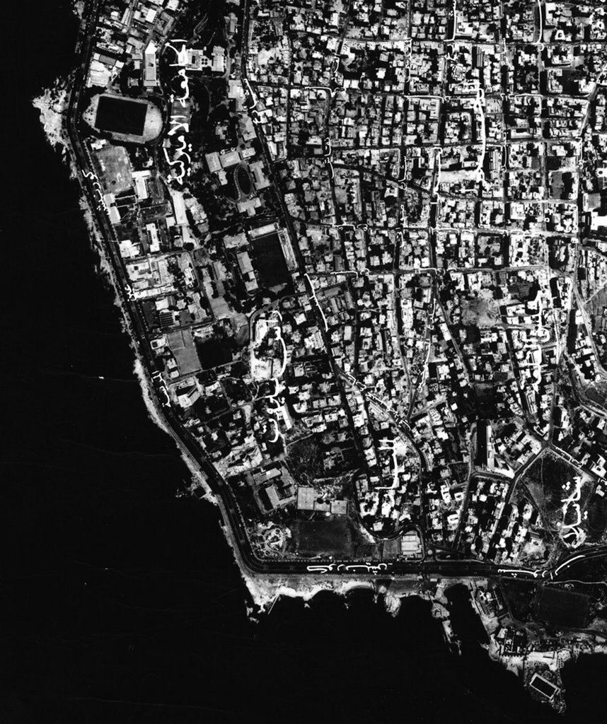
The map shown above is an aerial photograph of Beirut, Lebanon, that has been on display during the month of July. The actual map is much larger and covers the entire city of Beirut. This map and the CIA maps used in displays are available for checkout from the GCMC.
No comments:
Post a Comment