
Where's the Fire?
Sanborn Fire Insurance Maps at University Libraries
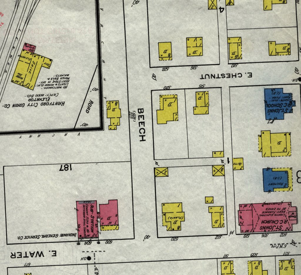
Sanborn fire insurance maps date back to 1867 and were originally produced for the purpose of assessing risk of fire and the cost of insurance. These maps are highly detailed color maps that record individual building "footprints" and information about streets, businesses, residences, and utilities. Sanborn maps include construction details such as building materials, height and number of stories of buildings, location of doors, windows, fuel storage tanks, and chimneys. The functions of the buildings are provided as well as street names, street and sidewalk width, property boundaries, and house and block numbers.
Sanborn maps are valuable historical tools and are used by researchers in such fields as history, genealogy, architecture, historic preservation, and sociology. The maps offer lessons about the growth and development of the neighborhood.
The Geospatial Center & Map Collection recently added sets of Sanborn fire insurance maps for St. Louis, Missouri, and Boston, Massachusetts. Paper Sanborn maps of the following Indiana cities are also available in the GCMC:
- Anderson, Madison County, 1895
- Batesville, Ripley County, 1919
- Bedford, Lawrence County, 1922
- Bluffton, Wells County, 1919
- Camden, Carroll County, 1899
- Dugger, Sullivan County, 1915
- Farmland, Randolph County, 1911
- Hartford City, Blackford County, 1920
- Hobart, Lake County, 1922
- Hymera, Sullivan County, 1910
- Kendallville, Noble County, 1922
- Loogootee, Martin County, 1920
- Mitchell, Lawrence County, 1918
- Moores Hill, Dearborn County, 1918
- Noblesville, Hamilton County, 1922, 1887, 1892
- North Vernon, Jennings County, 1927
- Rising Sun, Ohio County, 1906
- Russiaville, Howard County, 1913
- Van Buren, Grant County, 1911
- Vernon, Jennings County, 1911
- Wabash, Wabash County, 1920
- Winamac, Pulaski County, 1911
- Wolcott, White County, 1919
Sanborn maps of Muncie, Indiana, are located in the Archives & Special Collections Research Center. A copy of Sanborn Manhattan Land Book of the City of New York, 1995 and Fire Insurance Maps: Their History and Applications can be found in the Atlas Collection on the second floor of Bracken Library. Sanborn maps from other Indiana cities, as well as Ohio, Kentucky, and Tennessee are located in Microforms. Microforms also has a copy of Fire Insurance Maps from the Sanborn Map Company Archives.
Please contact the GCMC for more information about using Sanborn fire insurance maps in your research project.
No comments:
Post a Comment