
2006 Election Campaign Guide: Geospatial Center & Map Collection Election Selections
Election Day is November 7, 2006, and maps are an ideal tool for illustrating various information and statistics about elections. The widely-used "blue states and red states" explanation of states' party affiliations has become a cultural phrase and was made popular from an election map from the 2000 Presidential election.
The Geospatial Center & Map Collection houses many maps and atlases about elections--both current and historical. Maps depicting newly-drawn Congressional districts, presidential election results since 1789, and even local city council districts are available in the Center. U.S. Census data is also available in the Center.
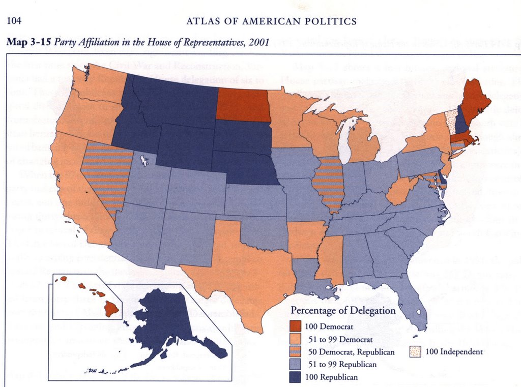
The Atlas Collection also provides excellent election resources. The Routledge Historical Atlas of Presidential Elections, The Historical Atlas of State Power in Congress, and The Historical Atlas of Political Parties in the United States Congress are very current and thorough sources of information. Atlas of American Politics 1960-2000 features several maps about elections: Voter Turnout; Democratic Campaign Stops, 2000; Republican Campaign Stops, 2000; Party Affiliation in the House of Representatives (shown above). But the atlas also contains more specific political maps: Senate Vote to Convict or Acquit President Clinton on Impeachment; Cabinet Secretaries' Home States; Supreme Court Justice Confirmation Votes; Women in State Legislatures. And this atlas also features maps describing general information indirectly related to elections: Per Capita Hazardous Waste Generation; Methods of Capital Punishment in Each State; Violent Crime Rate; Teacher Salaries; Abortion Rates; Firearm Injury Death Rate.
The Internet can also be an excellent resource for timely information about the elections:
- The Politics section of MSNBC provides news and background about the 2006 election with a map of the key races. Three districts in Indiana--District 2, District 8, and District 9--are listed in the top eleven key races for the House of Representatives. This site also includes a list of contenders for the 2008 Presidential election at http://www.politics.msnbc.com
- National Public Radio offers analysis and projections state-by-state on its election map at http://www.npr.org/news/specials/election2006/map/
- A site made popular in the 2004 Presidential election updates Senate races every day according to the latest polls, calculating states gained and lost by each party at http://www.electoral-vote.com
- The New York Times Election Guide covers the election with maps but adds interactive features showing where Bill Clinton and George Bush appear at fundraisers, poverty rates, and median income at http://www.nytimes.com/ref/washington/2006ELECTIONGUIDE.html?currentDataSet=senANALYSIS
- For local Indiana election news WTHR offers an election guide at http://www.wthr.com/Global/story.asp?s=5245655
Contact the staff of the GCMC for more information about these and other election resources. (The Atlas Collection even includes a rare atlas covering the first elections in Kosovo and elections in P0land). Check out the election maps on display in the front windows of the Center. Voters should find the above resources informative and helpful in making their election selections.
No comments:
Post a Comment