
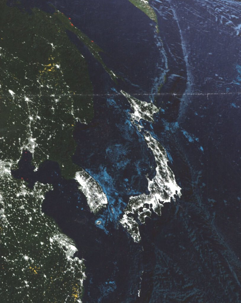
Map of the Earth at Night
This image is a section of a map produced by National Geographic titled "Earth at Night." The map was created over a one-year period using satellite images from cloud-free nights. The purpose of the map is to show the bright lights of the developed countries of the world: the richest, most developed countries have the brightest lights. In this section of the map, Japan, the cities on the coast of China, and South Korea appear bright, while North Korea is markedly much darker. Recent events have put North Korea in the news, and news of energy shortages causing blackouts in the country have been reported. This map is evidence of the state of development in North Korea.
The National Geographic map shows the entire world at night, and is available for circulation from the Geospatial Center & Map Collection. The call number for the map is G3200 2004.N38. Staff of the center will offer assistance finding this map or any other resources needed for research.
No comments:
Post a Comment